After seeing photographs from Big Schloss, on the Virginia-West Virginia border between Shenandoah and Hardy Counties, I texted Ann that we just had to put it on our list of hikes to do. It finally rose to the top of the list this past weekend and I am so glad that it did. It may have been my favorite hike of the year so far. The Big Castle is a prominent sandstone outcropping standing a long way above everything in the Great North Mountain range at 2964 feet, giving amazing 360-degree views of Virginia to the east and West Virginia to the West. The summit itself is just barely in Virginia.
 |
| Big Schloss |
We set out around 8:30 from Winchester after coffee and going through the motions of packing up the car. With almost no sleep the night before, I found this a lot more challenging than it should have been, to the point where I was sure I would forget something. After a stop for gas, we finally got on I-81 heading south. Though it's only 32 miles as the crow flies from our house, it took us about an hour and five or ten minutes to arrive at the parking lot on FS 92, a nicely maintained dirt road. I take it, but I don't know for sure, that the FS stands for Forest Service. All the trails we walked were on Federal property, spanning two states, in the George Washington National Forest.
I'm really glad I found the GPS coordinates of the parking area and studied Google Earth to see where I was going in advance. Directions to this parking area are scarce on the web. On the ground, though, the trailhead wasn't that hard to find as it occurs in a big bend in FS 92 just after it crosses Little Stoney Creek. One set of directions had the parking lot on the right coming from our direction; clearly it is on the left. In any case, the trailhead is in a fairly remote area and the roads are not well marked. I navigated by mileage taken from Google Maps.
Once in the parking area, we checked out the signboard that offers the map below. Our journey to Big Schloss took us in a counterclockwise loop initially heading north on the yellow-blazed Little Stony Creek Trail to the junction with the blue-blazed Tuscarora Trail at the Sugar Knob Cabin. Then we climbed west up to the junction with the orange-blazed Mill Mountain Trail and hiked back south to the white-blazed trail leading up to Big Schloss. From there we backtracked north to the Carolina blue-blazed Big Schloss Cutoff Trail back to FS 92 and the car. Our GPS had us at about 13 miles total for the day for the roughly 12-mile loop and a bit more for visiting overlooks along the way.
 |
| We Did the Little Stony Creek-Mill Mountain Loop |
As soon as we got out of the car, a couple came walking up out of the woods from the direction of the Woodstock Reservoir. I did a double-take, not expecting to see two people that I know from back in Winchester. The odds of running into each other like this must be vanishingly small, yet it happened. Another guy pulled in just about this time and he was looking to meet up with the Northern Virginia Hiking Club to do the same hike we were about to do. I wasn't terribly happy about having to share the trail with a big group and we shoved off about 10 minutes to 10, their meet up time.
 |
| Trails Are Very Well Marked |
The Potomac Appalachian Trail Club maintains the trails in this area and they are going a great job. The trails are in great shape. I moved the usual newly fallen limbs off the trail as I encountered them, but on the whole, the trail is wonderfully maintained. We started by following the yellow-blazed trail along Little Stoney Creek north in the direction of the Sugar Knob Cabin, a four-person primitive shelter at the intersection of the Little Stony Creek and Tuscarora Trails.
We both started out the day in shorts and long sleeves as the temperature was in the upper 40s to about 50 when we started our hike. About a mile in as we were getting limbered up, the sun started filtering down in the little creek valley and we took a quick break to shed our outer layers. I noticed in the first mile that my left ankle was a bit tender from my fall two weeks before on the
Massanutten Trail. I was then glad that we took last week off from hiking. About two miles in, I first reached for my bandana to wipe the sweat from my brow: so much for it being cool. The climb up to the cabin is gentle but relentless.
At some point about an hour in and a few minutes before we hit the cabin, we were both working up a good hunger, not really having eaten much breakfast. Ann asked what I had made for lunch and I enthusiastically described the Canadian bacon and tapenade roll-ups that I made, my mouth watering. And as I finished describing them, I said, "And, I left them at home!" Doh! I did forget something in my early morning stupor. It wasn't a big deal other than we were both really looking forward to tucking in to them a bit later. We always leave plenty of emergency food in our packs and I had just made a big batch of trail mix for Ann. All day, we snacked on that bag of dried cranberries, peanut M&Ms, and oats and almonds roasted with maple syrup and a lot of salt.
 |
| Break Time at Sugar Knob Cabin |
We took our first big break at the Sugar Knob Cabin and were quickly joined by the leaders of the big Northern Virginia group following. It would be our lot to leapfrog them all day. In essence, we might as well have been a part of that group. I'm not knocking them. They were well behaved, quiet enough, polite, and respectful. It's just that they're a group and I go into the woods to get away from groups. And, I want to walk my own walk and that's tough to do in a group. If I want to take five minutes to stalk a butterfly to get a good picture, I don't want to hold other people up. In any case, when we left the cabin for the Tuscarora Trail, only three of the fourteen group members were there. We pushed on ahead of them.
 |
| Color on Tuscarora Trail |
The character of the trail really changed as we left the creek valley and turned west onto the Tuscarora Trail. We climbed gently up through very open and at times very sunny forest on a trail wide enough to drive a jeep. It was a lot more arid on this trail especially when contrasted with the often muddy creek-side trail that we had just hiked.
 |
| Blueberries Turning Color |
In mid-October, we expect to start getting some good color on trees, but that isn't really happening this year, probably because of the severe drought we had in August. A lot of trees have already dropped their leaves. We did see a few patches of paradoxically red blueberries and when looking out over the mountains, we could see some sugar maples going red, but 2016 does not look like a good year for fall color in our part of the world.
 |
| Lots of Barren Trees |
After a very short and gentle climb, we turned left off the Tuscarora Trail heading south on the well-marked Mill Mountain Trail which follows the spine of Mill Mountain forming the border between Virginia and West Virginia. In essence, our right feet could have been in WV while our left were in VA, not that you could tell on the ground. Nowhere did we see any state-line boundary markers.
 |
| The Mileages Were Very Accurate |
In certain areas, especially while walking this part of the ridge, we really had to concentrate on not slipping on the newly fallen acorns; they are worse than any wet leaves. And in some places, we had to worry about the acorns falling all around us. The wild turkeys should be very happy this year.
 |
| Great Acorn Crop This Year |
Aside from the acorns, signs of fall are everywhere as you will see in the following photos.
 |
| Fall Still Life |
 |
| Virginia Creeper on Lichen |
 |
| Columbine Changing Color |
 |
| Still Life with Pine Cone |
 |
| Neat Mushroom Cluster |
Although I enjoyed the Mill Mountain Trail, views are few and far between on it. Finally, we came upon a nice rock outcropping overlooking West Virginia about 2/3 of the way to Big Schloss. It was just before here that the hiking group passed us and though I really didn't think much of at the time, one of the hikers was carrying both his trekking poles awkwardly in his right hand and not using them.
While we were at the overlook, we climbed up into the sun and took a moment to look out over the Lost River south of Wardensville. When Ann climbed back down to me, I noticed that she had scraped her leg climbing the rock, but it appeared to be minor and she didn't mention it. Only the next day did I see that the little scrape was surrounded by a big bruise. She has no idea how it happened.
We took our leave of the group who were still taking a water break, heading out to Big Schloss several minutes ahead of them. It wasn't too far from here that Ann said something about her left foot hurting and we stopped to put some padding over a newly forming blister. Annie got new boots this past week after discovering the hard way that her former shoes were too small. And over my objections, she insisted on wearing the new boots anyway, with predictable results. I even carried her old shoes in my pack so that she could switch out after a while. But no, I have a thick-headed wife! I would rebandage the blisters up on top of Big Schloss so that she could continue on to the car.
 |
| Mountain Goat Annie |
 |
| Looking at Lost River, WV |
After the intersection with the Big Schloss Cutoff Trail, Mill Mountain morphed into Big Schloss and the canopy opened up. Though we saw a few purple asters on the roadsides driving in and a few white asters creekside near the parking lot, we had seen no wildflowers all day, until this point where some sun could get through the trees. I noticed a lot of new plants and growth now that it has cooled off and we have got some rain. There were huge patches of just sprouted bull thistles, for example.
 |
| Striking Fuchsia Stems on Pokeberry, Phytolacca americana |
 |
| A Few Asters in Bloom |
 |
| Phenomenal Wild Basil, Clinopodium vulgare |
 |
| Knotweed Still in Bloom |
 |
| A Snakeroot on Top of Big Schloss |
 |
| Solidagos Among the Few Plants in Bloom |
 |
| Rare Photo of the Photographer |
It was really neat to turn a corner on the trail and suddenly see the Big Schloss outcropping looming in the distance, topped with tiny people. Ann exclaimed, "Are we really going up there?" about three quarters of a mile before the top. The Northern Virginia group passed us again here under the cliffs. As we approached the rock formation, the hikers up top got a bit bigger but they were still a long way up as we walked under the western edge of the cliffs to the south side of the mountain where the white-blazed approach trail heads back north and east up to the summit.
As we turned onto the summit trail, we noticed the same hiker sprawled out on the ground, sucking wind, and pulling a full 2-liter bottle of iced tea and another of water out of his brand new and immense pack that was loaded with tons of other stuff and festooned with shiny pastel-hued carabiners. One of the hike leaders was staying back with him. He was clearly a novice hiker who had decided to make one of his first jaunts a 12- or 13-mile hike. I was worried about his ability to get back to the car and no doubt so were the hike leaders. He finally did make it to the summit where he rested in the shade. I don't imagine that he was enjoying himself or the spectacular views very much.
After a brief hike to nearly the top, as we came out of the woods, we were rewarded with spectacular views both east and west. Continuing on just a few more yards, right before the summit there is a 45-foot long wooden bridge across a small chasm. The bridge leads to the top of the rock formation that we could see from the trail below. Sadly, we were nowhere near alone: I would estimate that there were 30 people up top, way more than I wanted, but with Big Schloss being only about two miles from the Wolf Gap parking lot, a lot of casual use is to be expected.
 |
| Looking West Over the Lost River |
 |
| Looking South from Big Schloss |
 |
| The Bridge at Big Schloss |
 |
| Color and Scenery Was Fantastic |
 |
| Big Schloss East Side; People for Scale |
 |
| Color at Big Schloss Peak |
 |
| Annie Enjoying the View... |
 |
| ...And Her Obligatory Boot Shot |
 |
| Looking West from Big Schloss |
 |
| More of the Stacked Sandstone Formation |
 |
| Annie in Another Yoga Pose |
 |
| And Again, Little Sluice in Background |
 |
And With a Friend
|
Because of the crowd and the warm sun, we backed off the summit in favor of a shaded spot looking due east over Little Sluice Mountain. As I sat down, I heard the high, thin "tsee" call of a Cedar Waxwing and in a couple of moments spotted a lone Waxwing in an oak tree next to a tree containing a lot of fruit. Sad to say, but I don't recognize what kind of tree it was; the fruit was similar to choke cherries but the bark of the tree was all wrong. Cedar Waxwings are never solo birds and it didn't take long to notice several others in the fruit tree, all masquerading as dead leaves, gobbling down fruit. I would estimate that there were at least 50 of them in the surrounding trees. Because of their furtive nature often in the tops of trees, I don't often see them in range to photograph. It's too bad that their plumage is really dull this time of year.
The final 3.7 miles back to the car, backtracking along the Mill Mountain Trail, down the hill along the Big Schloss Cutoff Trail, and the final half-mile along FS 92 were fairly uneventful, but painful for me. Coming down off a big rock, I tweaked my right knee a bit and it was killing me going back down the hill. This getting old stuff is for the birds! Downhills are tough on my knees anyway and there are some steepish spots on the Big Schloss Cutoff Trail that were knee-unfriendly.
We left the big group at the summit, but they passed us about three-quarters of a mile down the trail, and then we caught up with them once again at the cutoff trail. We let them go ahead of us there, but we passed the newbie hiker a mile and a half later. Clearly he had taken a big spill, but fortunately was apparently unhurt save for his feelings. We passed the group for a final time at FS92 as they waited for their stragglers to catch up. The relatively flat dirt road proved smooth sailing for my knee, so we made good time back to the car. We arrived a couple minutes before the main group.
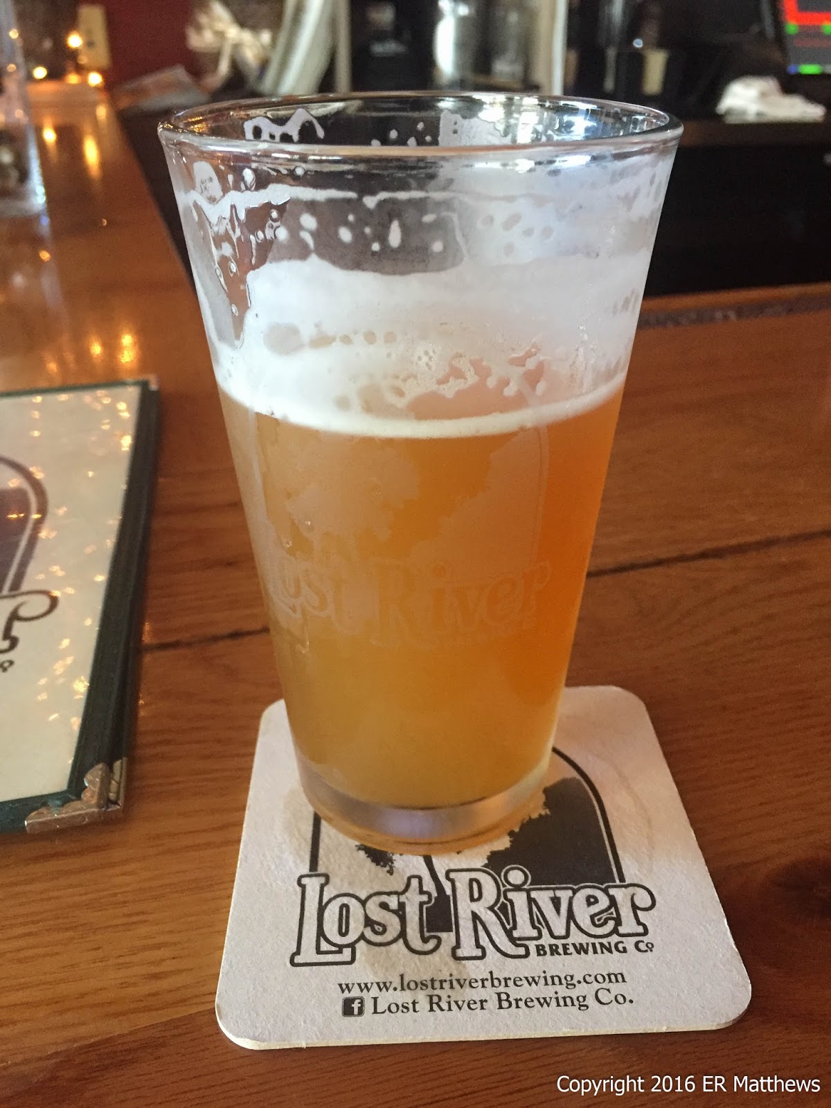
We enjoyed a beer in the parking lot while getting out of our hiking shoes and stowing our gear. At 5pm, it was starting to get dark back in the woods. We said our goodbyes to the group and took a short walk down to Little Stoney Creek after they had gone. I took a tumble on the rocks as one of my flip-flops came off and that was enough of a day for us. We packed it up and headed back to the house. During the ride home, Carter texted to ask if we would go to Chili's with him for dinner. This is where he now works and he wanted to show us off a bit. At this point, having noshed only on granola, we both felt like we could have eaten horses.
 |
| Post Hike Next to Little Stony Creek |
After a quick shower back home, we left with Carter and his girlfriend of-the-moment Jess to go to Chili's where Carter was the man in charge, getting us a table in his favorite server's section. The beer was epically boring and the food, let's just say that my first trip ever to a Chili's could be my last. Ann and I both got burgers and they were both terribly cooked and served with soggy fries. Carter wanted to treat us there and we were very happy that he wanted to be seen in public with us. I picked up the check though. All in all, we had a great time even if the food was miserable.
 |
| Post Hike with Carter and Jess at Chili's |