Tuesday, the day before Lillie and Steph returned home to North Carolina, we aimed to hit sights south of Bend, including the High Desert Museum and curated parts of Newberry National Volcanic Monument.
Heading south of Bend, we arrived at the High Desert Museum to find the parking lot very full already at just after 10:00 in the morning. Welcome to Bend in tourist season! We were too late to get tickets (limited to 100 each day) to the Raptors of the Desert Sky presentation. Damn it! I am so sad that they missed this fantastic program.
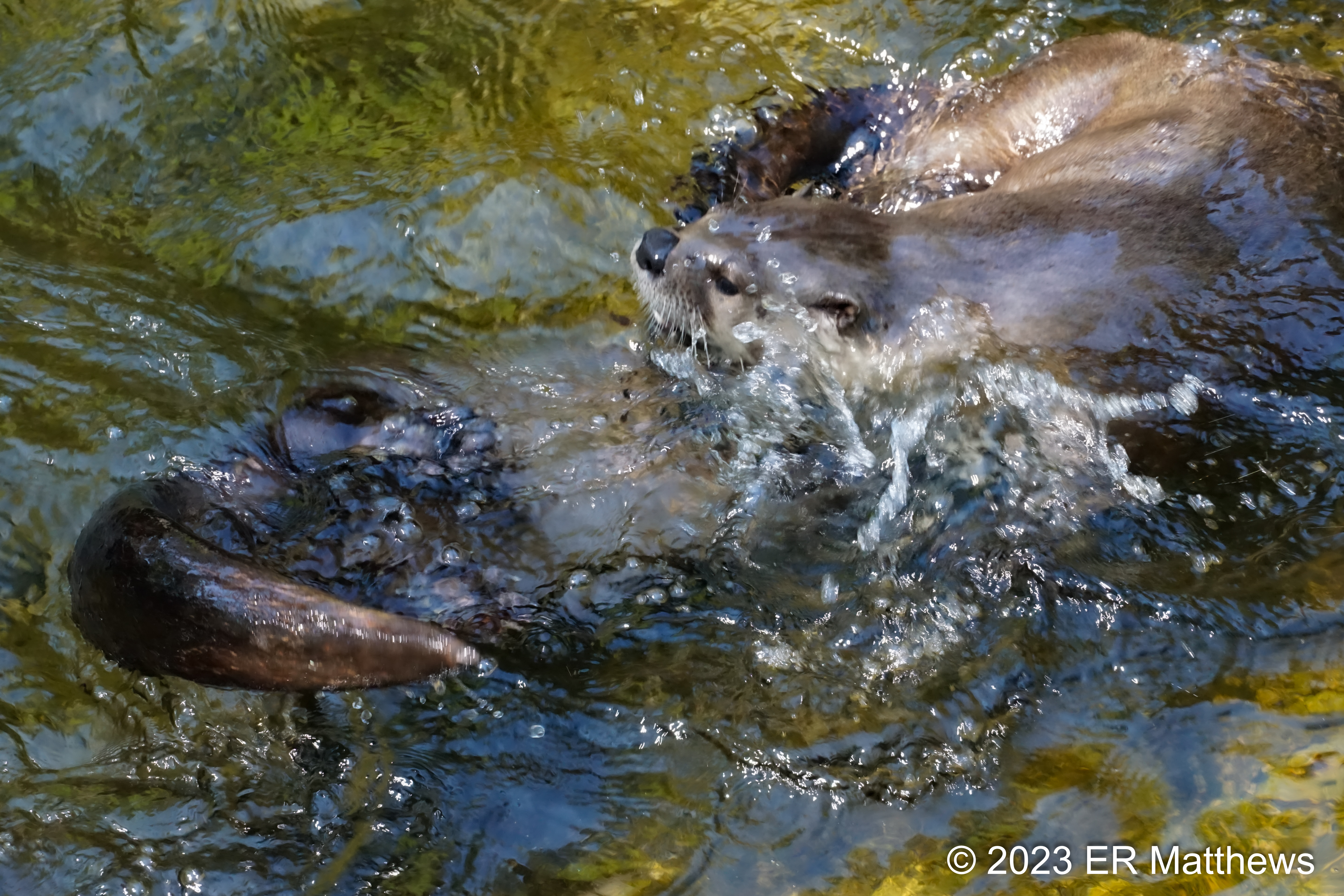
We wandered the inside exhibitions and then made a lap around the property, with a stop at the otter exhibit to see if the crazy little critters were in an entertaining mood. It seems rather that the adult pair was in an amorous mood and were hell bent on wrestling and biting each other on the nape of the neck. The newly added pup quickly scurried inside to get away from the gymnastics. Lillie really wanted to see the otters and I am happy that they obliged her.
 |
| Otters Scrapping |
 |
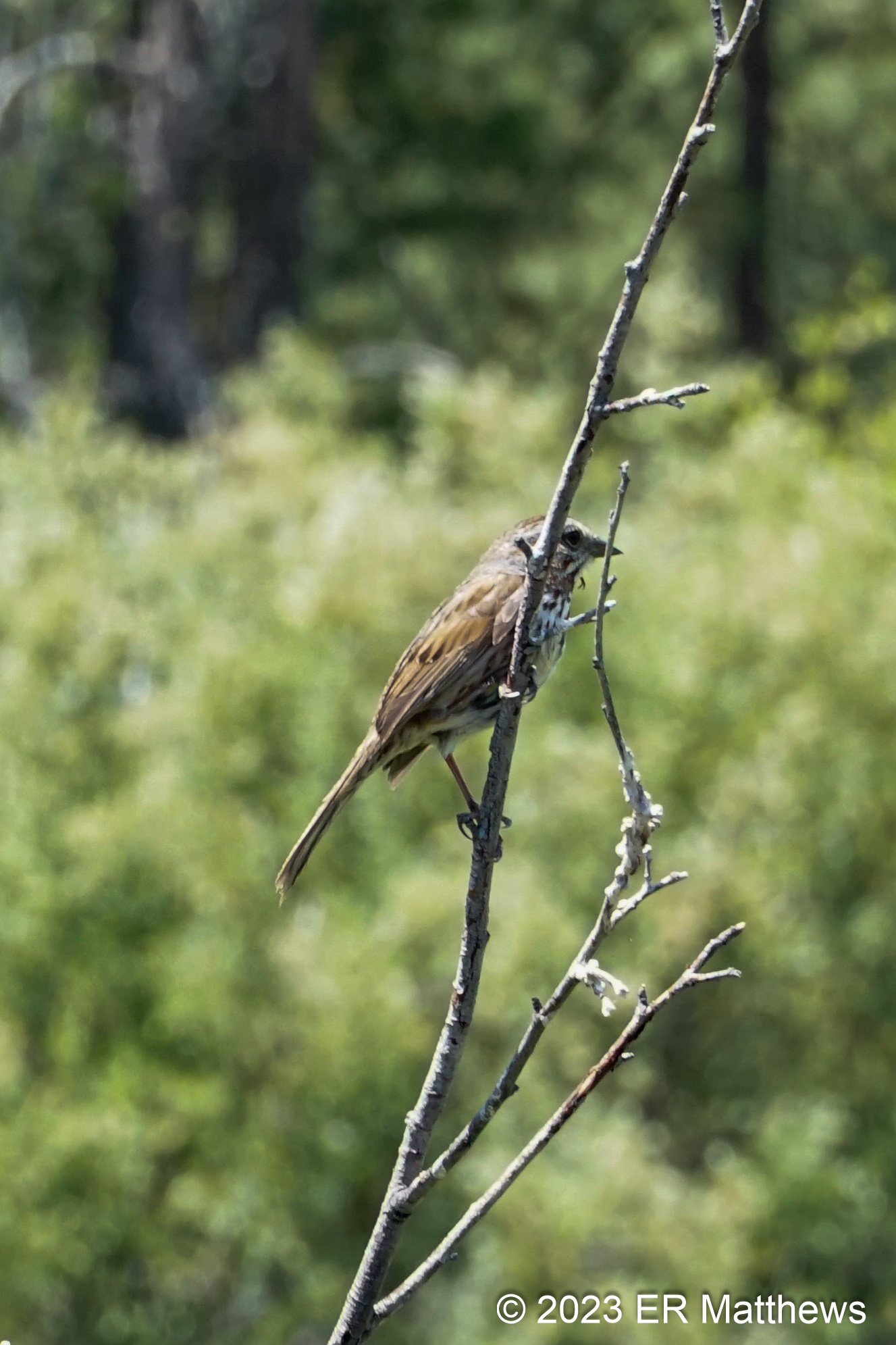
| Along the Creek, Arrowleaf Groundsel, Senecio triangularis |
 |
| Diamond Clarkia, Clarkia rhomboidea |
After a quick tour of the avian exhibit, we left the museum to continue our journey further south for a stop at the
Lava Land Visitor Center in the Newberry National Volcanic Monument, itself a part of the Deschutes National Forest. Although there are lots of places to see lava in Central Oregon, the paved Trail of the Molten Land path behind the visitor center is a great place for visitors to come to grips with how inhospitable lava is and to experience the terrain on which the early astronauts trained for their mission to the moon in the 1960s. Another great place to experience lava is at the
Dee Wright Observatory, but that is a bit far afield for the girls' quick stopover in Bend.
 |
| Lillie Was Captivated by the Golden-Mantled Ground Squirrels |
 |
Great Views of the Mountains
L to R: Mt, Bachelor, Tumalo Mountain, South Sister, Broken Top,
and the Tips of Middle and North Sister |
 |
| Lava Butte |
 |
| Experiencing the Harshness of the Lava Field |
 |
| Looking Like a Spirea, Ocean Spray, Holodiscus discolor |
 |
| Ocean Spray, Blooming all Over the Lava |
 |
Only Other Plant in Bloom in Lava Field
Scabland Penstemon, Penstemon deustus |
 |
Lone Ponderosa Trying to Reclaim the Lava
Mt. Bachelor and Tumalo Mountain to Right |
 |
| Another Penstemon Behind Visitors Center |
The girls asked about going up on top of Lava Butte, just to the north and 500 feet above the lava field. Given our limited time to see all the sights, I had decided that we would not take the shuttle to the top of the butte because I intended to head to the crown jewel of the National Monument later in the afternoon, Paulina Peak with its incredible vistas that blow away those of Lava Butte.
After walking the lava field (a very brief walk in the blazing sun), I wanted to show the girls Benham Falls which is accessible after a quick almost 4-mile drive down Forest Road 9702 which leaves just south of the visitors center. Given that it was lunchtime on a weekday, we were able to find shaded parking at the beginning of the Benham Falls trailhead, a feat that is not always possible given the popularity of the falls and the easy access to them.
Benham Falls is a direct result of Lava Butte, a cinder cone of the Newberry Volcano (still active). The lava that it spewed not only formed the lava field that we had just walked, but it also dammed the Deschutes River, forming Lake Benham. Over time, the water broke through the dam where the present falls are located and the Deschutes continued its journey north to meet the Columbia.
Ann and I have been to Paulina before and hiked both
around the lake and
up to the summit. This is the first time that we have driven to the top up the winding and in places narrow dirt road, trying to dodge the idiots in 4x4s flying up and down the road, hogging it and spewing dust, irrespective of other drivers and bicyclists struggling to the top. I much prefer the walk to the top, 1600 of elevation gain in 3 miles, to the dusty drive up, but that wasn't happening given our time frame.
 |
| Paulina Lake from Summit |
 |
| Ann Standing on Summit |
 |
| Paulina Lake, East Lake, Big Obsidian Flow |
At the end of June on the summit, it was very cool especially after coming up from the blazing heat of the lava field and trail over to Benham Falls. When we visited about the 20th of July last year, the mats of penstemons were ablaze amongst big stands of red paintbrushes. About a month earlier this year, as you can see in the photo below, paintbrushes are short and scarce, while the mats of penstemons don't even have any buds yet.
 |
A Scarce Paintbrush, Castilleja sp., in Front of
a Small Mat of Penstemons |
 |
| Whitebark Pine, Pinus albicaulis, Krumholz Tree |
After seeing all that the summit had to offer and showing the girls the two lakes and the obsidian flow in the caldera, we packed it in for the run back to Bend where I promised everyone a late lunch/early dinner of ramen at Miyagi.


No comments:
Post a Comment